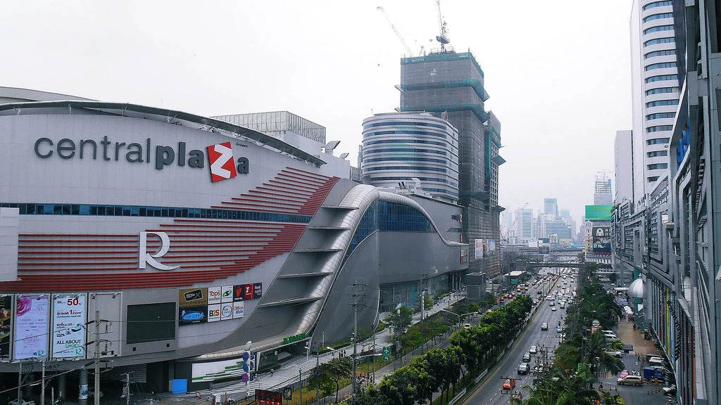
Rama 9
Tigerathiwat · 2015-03-21
Wikimedia Commons ↗ · CC BY-SA 4.0
Download photoThese photographs show real locations. Capture dates are listed below and may differ from current conditions. Images are resized, converted to WebP and cropped for their display area.
Tigerathiwat · 2015-03-21
Wikimedia Commons ↗ · CC BY-SA 4.0
Download photo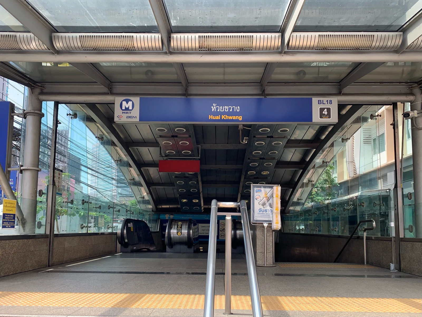
Chainwit. · 2021-04-18 10:50:23
Wikimedia Commons ↗ · CC BY-SA 4.0
Download photo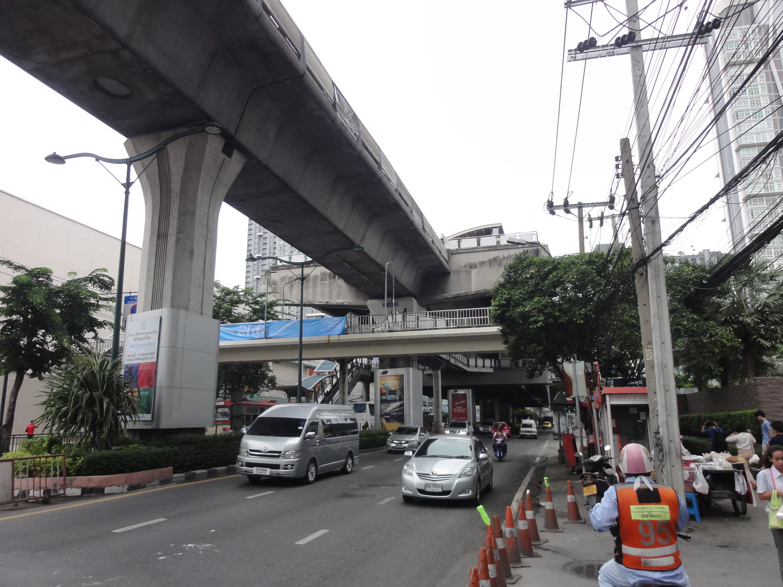
Rsa · 2015-11-07
Wikimedia Commons ↗ · CC BY-SA 3.0
Download photo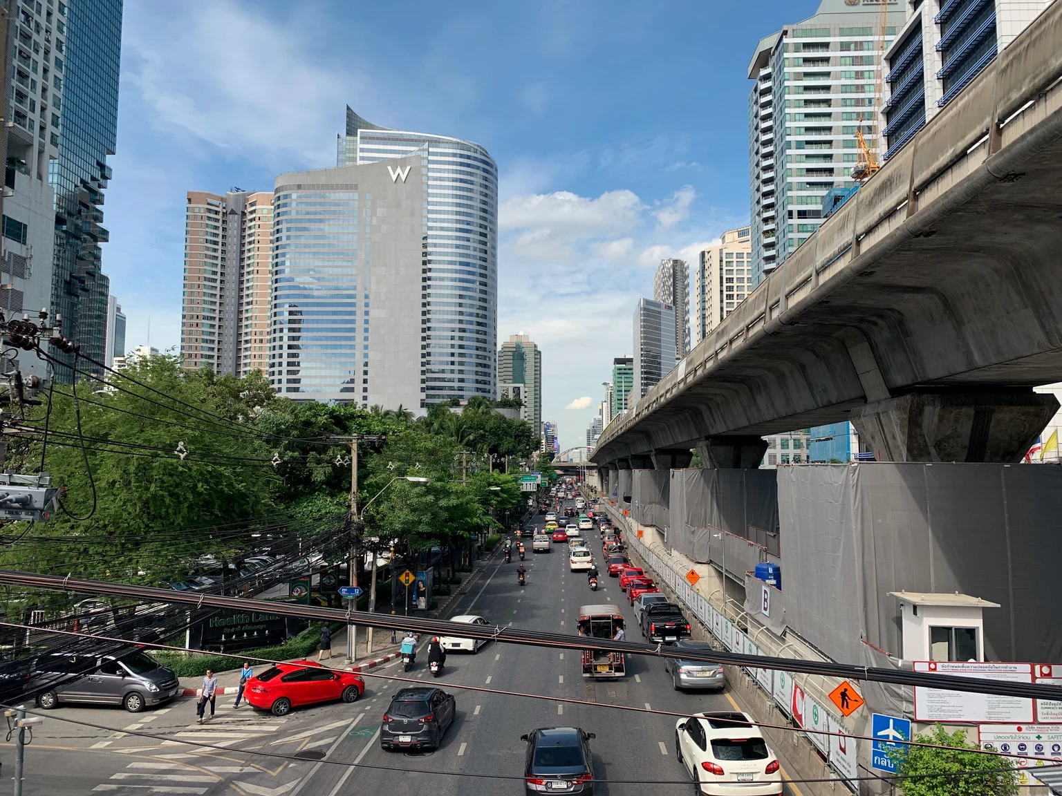
Chainwit. · 2019-07-26 15:25:39
Wikimedia Commons ↗ · CC BY-SA 4.0
Download photo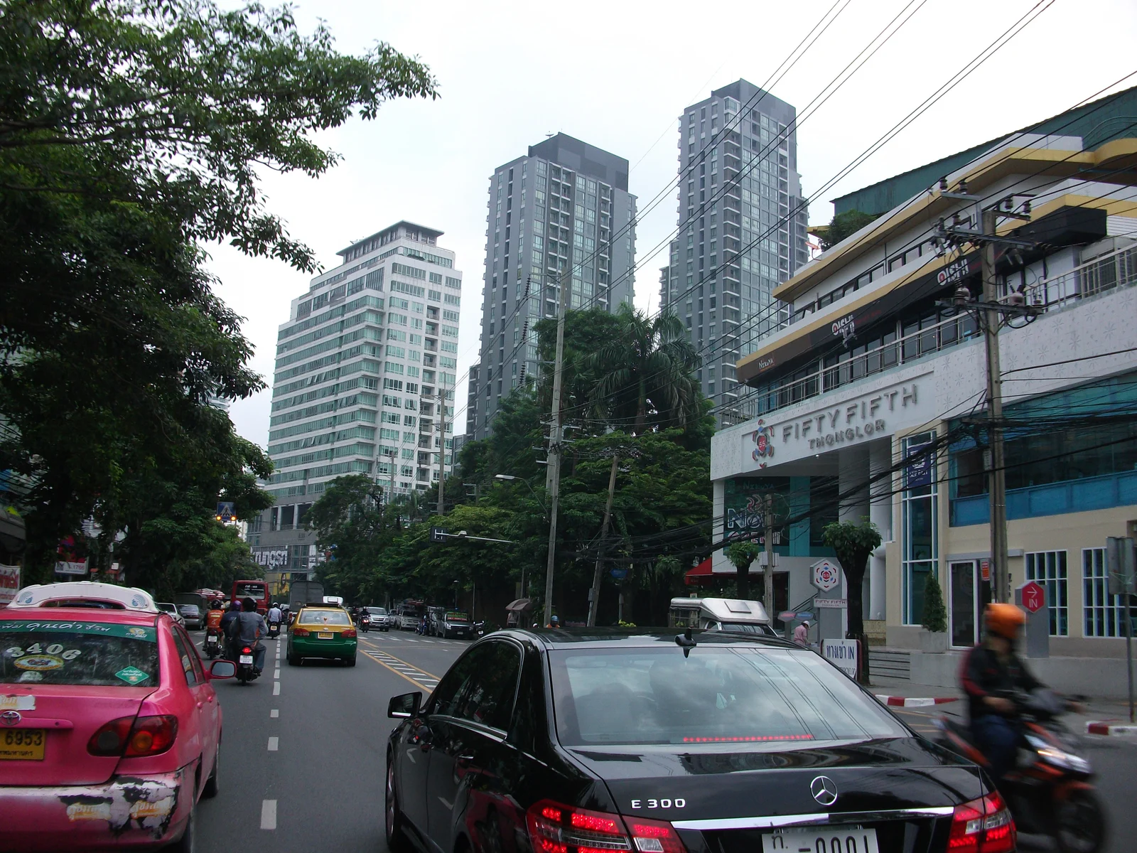
Sry85 · 2012-09-26 10:23:55
Wikimedia Commons ↗ · CC BY-SA 3.0
Download photo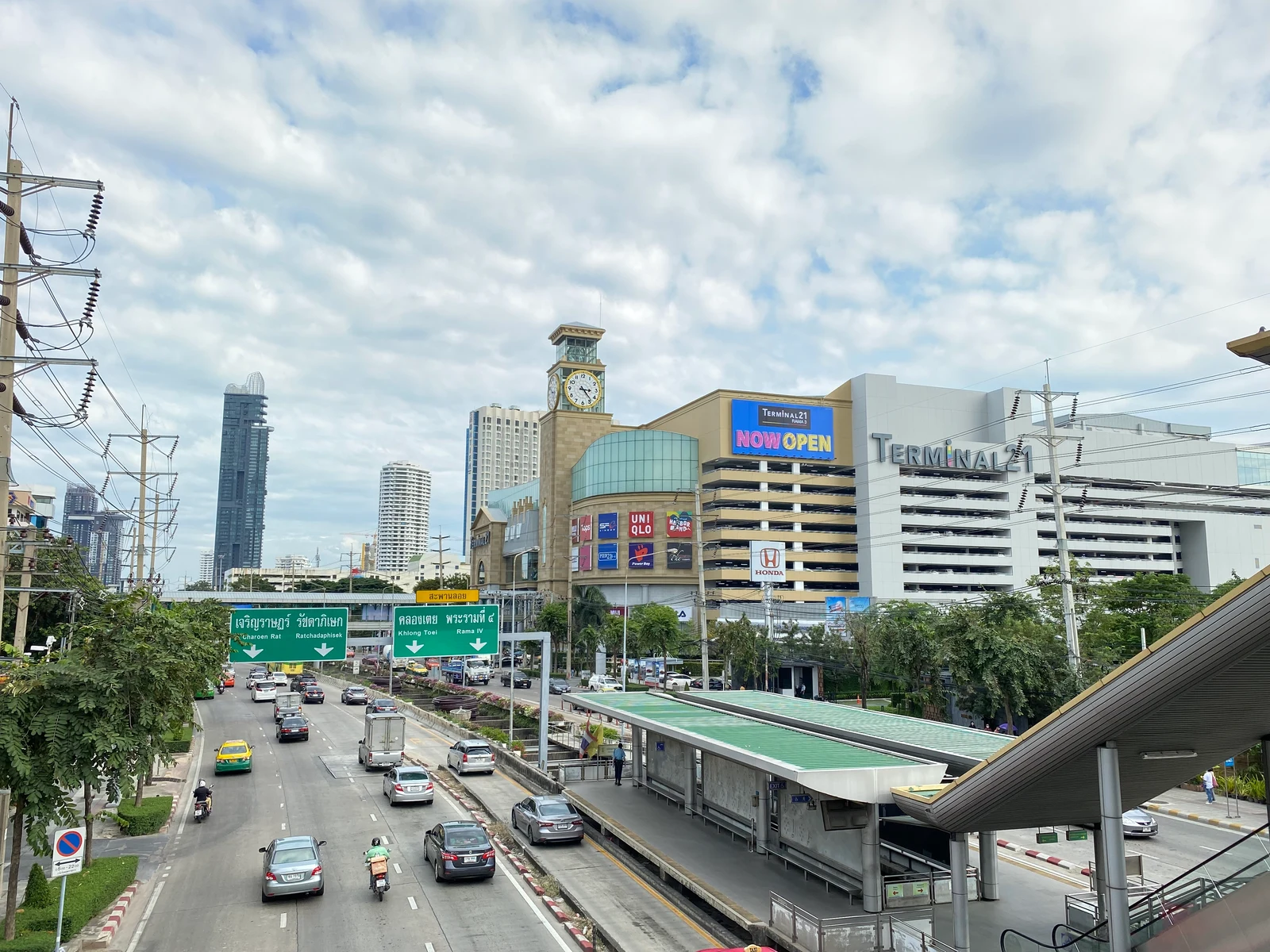
Reversemos.sapanaht · 2022-10-22
Wikimedia Commons ↗ · CC BY-SA 4.0
Download photogeoBoundaries / William & Mary GeoLab · © OpenStreetMap contributors · Province boundaries 2017 · District boundaries 2019: Royal Thai Survey Department / OCHA ROAP
Sansiri, AP, Land & Houses, Origin, Pruksa, Major Development and LINE trademarks belong to their respective owners. Assets are sourced from official websites with their original appearance and colours.